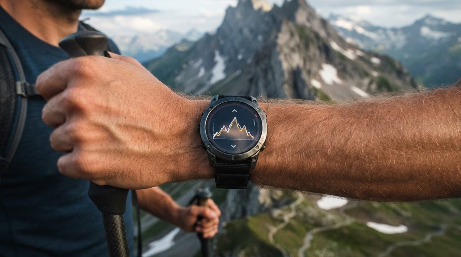
Two runners cover the same trail side by side, but after finishing they see different elevation gain. This isn't necessarily a watch malfunction: devices can measure elevation in different ways, record it at different intervals, and filter fluctuations differently. D+ is the sum of climbs along the route profile, not the difference in elevation between start and finish. On a loop, that difference is almost zero, even though there may be many climbs. So what matters is not just the accuracy of a single point, but how the entire sum is calculated.
Three sources of elevation: each with its own limitations
Elevation in a workout record can come from satellites, a pressure sensor, or a digital map. Watches sometimes combine sources, and an app may replace the original points with its own after upload. So the same label "elevation gain" doesn't mean the same underlying data.
- GPS altimeter. The receiver determines its position in space using satellite signals. The vertical coordinate is usually less stable than the horizontal position: satellite geometry, signal reflections from slopes and buildings, forest, and narrow gorges all interfere. Deviations from a few metres to tens of metres are a guideline, not a characteristic of any particular watch. In challenging conditions, the error can be larger. Even a stationary receiver may show changing elevation.
- Barometer. The sensor measures atmospheric pressure, which the device converts to elevation. Over short sections, it often tracks relative changes better than satellites, but pressure also changes with weather. Readings are also affected by airflow into the sensor port, water, dirt, and temperature compensation specifics. Calibration is needed: using a known elevation, satellites, or another source. Auto-calibration can itself introduce a jump in the profile.
- Digital elevation model, DEM. The app takes the track coordinates and looks up elevation from a grid of values. The grid spacing might be, for example, around 10–30 metres, but availability and quality depend on the region and dataset. Grid spacing is not the same as elevation accuracy. The model smooths out small terrain features, and some datasets describe the surface with vegetation and buildings, not just the ground.
DEM has particularly noticeable limitations: a bridge might get the elevation of the valley floor, and a trail on a ledge might get the averaged elevation of the slope. Coordinate errors don't disappear either. If GPS shifts a point from the trail to a steep slope, the model faithfully returns the elevation of that other point. Recalculating from a map removes dependence on the raw altimeter, but doesn't turn an inaccurate track into a geodetic survey.
A constant offset of all points doesn't change D+ by itself: add the same value to every elevation, and the climbs remain the same. What's more dangerous for the sum is drift and jumps within the record. A barometer might look convincing at the start and gradually "lift" the runner to the finish due to pressure changes.
Why the same trail gives different D+
The simplest algorithm adds up all positive differences between adjacent points. Its weakness is noise. A sequence like 100, 101, 100, 101 metres would give two metres of gain, even though the runner might have been on flat ground. Negative fluctuations are not subtracted from D+: they go into a separate sum of descents. So random fluctuations can inflate both values.
- Different barometer noise. Two devices have different sensors, port positions, and signal processing. A gust of wind or a wet sleeve can affect one device more than the other.
- Different recording frequency. Per-second recording keeps more detail, including noise. Sparse or "smart" recording may miss a short hill. More points do not automatically mean a more accurate D+: the subsequent processing matters.
- Different filtering. One app sums up almost all fluctuations, another smooths the profile and ignores small changes. Even a single file uploaded to two services can produce different totals.
- Pauses and gaps. Auto-pause, signal loss, and recovery of recording change how points sit next to each other. If the algorithm joins the edges of a gap as a normal segment, an artificial step can end up in the total.
A difference of tens of metres on a hilly route doesn't by itself prove an error in a particular device. The scale of discrepancy depends on the length of the record, small terrain waves, signal quality, and filters. It's more useful to open the profile and find where the discrepancy occurs: a single spike on a flat road is more suspicious than a smooth climb that matches the trail on the map.
Smoothing and hysteresis: when an ascent counts as real
Before counting, the profile is usually cleaned of clearly erroneous points and smoothed. Smoothing reduces small elevation fluctuations by using neighboring values. For example, a median filter can remove a single outlier, while averaging makes the profile less jagged. But too strong a filter will cut not only noise but also real short ascents.
The smoothing window can be set by time, number of points, or distance. These are not the same. In the same time, a runner on a descent covers more than on a steep ascent; the same number of points at different recording frequencies also covers different sections. To compare files, it is important to know not only whether a filter is present but also how it works.
The hysteresis threshold helps avoid changing the profile direction with every small fluctuation. The algorithm keeps the current state until the elevation change exceeds the chosen threshold. In one variant, an ascent is confirmed when the elevation has risen sufficiently from a local minimum, and the transition to a descent when it has dropped sufficiently from the achieved maximum. Small movements within this range are not counted as separate hills.
A conditional threshold of 3–5 meters can be used to explain the principle, but it is not a universal setting. It should match the noise of the source, the detail of the terrain, and the processing task. After an ascent is confirmed, the algorithm may account for the entire rise from the initial minimum, not just the excess over the threshold. Specific implementations differ, so the same number in the settings does not guarantee the same result.
Here it is important not to confuse the confirmation threshold with the requirement that each neighboring point be higher than the previous one by several meters at once. A long gentle ascent is made up of small increments and should be preserved in total. Good processing distinguishes such steady growth from fluctuations around a single elevation. At the same time, any filter remains a compromise: on frequent low hills, the loss of detail will be more noticeable than on a long smooth ascent.
How to compare your workouts without changing the conditions
For personal history, a consistent measurement method is more important than the biggest number in the app. If today you take the raw barometer and a week later a heavily smoothed DEM profile, the change in D+ will reflect not only the route. Start with repeatable conditions, and only then evaluate differences in workouts.
- Choose one route and direction. Check the start, finish, additional loops, and off-trail detours. For a point-to-point route, changing direction can change the gain: former descents become ascents.
- Keep the recording settings. Use the same satellite mode, recording frequency, auto-pause, and calibration method. After a firmware or app update, keep in mind that processing may have changed.
- Recalculate the compared files in the same way. If you chose DEM, use one service, one model, and the same processing parameters as far as they are available. Comparing a recalculated new workout with a raw old result is incorrect.
- Look at the profile together with the map. Check peaks, dips, gaps, and shifts onto the neighboring slope. Bridge and tunnel sections require special attention: the surface model does not know the actual trajectory inside the structure.
- Save the original recording. The original file will allow you to recalculate the history again if the model or algorithm changes. It is useful to distinguish the corrected result from the value shown by the watch.
Consistency is especially important when comparing weeks: the sum of several workouts inherits the errors of each recording. The weekly chart below helps keep the distribution of sessions in focus. D+ itself should be read alongside duration, distance, and the nature of the trail: the same gain on a long gentle slope and on short steep steps describes different work.
You don't need to manually adjust every file to match a previous result. Even with the same settings, there is measurement scatter. If the discrepancy is small and the profile looks plausible, consider it a data limitation. If there are sharp jumps or the entire scale of gain has changed, first check the elevation source and processing, rather than drawing a conclusion about training fitness.
How we handle elevation in 1trAIner
At 1trAIner, we recalculate the elevation profile using a digital elevation model instead of trusting the raw altimeter of the watch. Using the route coordinates, we obtain a sequence of elevations from the DEM and use the recalculated profile to estimate elevation gain. The point of this approach is to reduce dependence on a specific sensor and pressure changes, not to claim that map elevation is error-free.
The result still has limitations of the model and the source track. A narrow ridge, a bridge, small terrain folds, or a shifted satellite recording may be represented inaccurately. Therefore, D+ is a characteristic of the route with some error, not an absolute measure of effort. For workout review, duration, pace, and surface context also matter: the elevation gain figure does not describe the technical difficulty of the descent or the condition of the trail.
In 1trAIner, the AI coach builds a plan using the Season → Month → Week → Day cascade. Data from Garmin and Apple Watch syncs automatically, and after each workout the week is recalculated. The first 7 days are free — you can see how this approach fits your schedule.
This material is for informational purposes only and does not replace consultation with a doctor.